Another potential tropical disturbance popped up on the National Hurricane Center's tracking chart on Saturday, July 12.
For those who watch every potential storm closely, this initial map looks a lot like the first one that popped up for Tropical Storm Chantal. The possible development area swoops from the Atlantic to the Gulf across much of Florida, but this time the system is moving toward the Gulf, and the advisory includes the southern shores of Louisiana, Mississippi and Alabama.
A broad area of low pressure could develophttp sometime within the next several days offshore of the southeastern U.S. coast, the hurricane center said on the afternoon of July 12. Environmental conditions could become "marginally conducive" for the gradual development of a system within five to seven days as it moves westward across Florida. The chances of development are low, only 20%.
Tropical trouble could be brewing around Florida, hurricane forecasters say


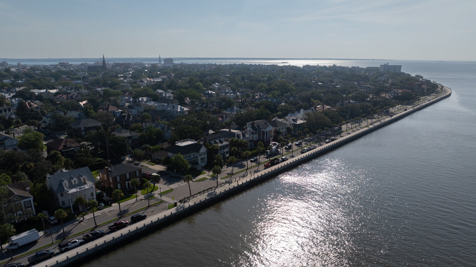 On a quiet street near the marsh in Charleston, South Carolina’s Rosemont neighborhood, Luvenia Brown watches...
 Hexavalent chromium nanoparticles were found in air samples gathered by researchers over the course of several...
 The National Hurricane Center is tracking systems in both the Atlantic and Pacific oceans on Saturday,...
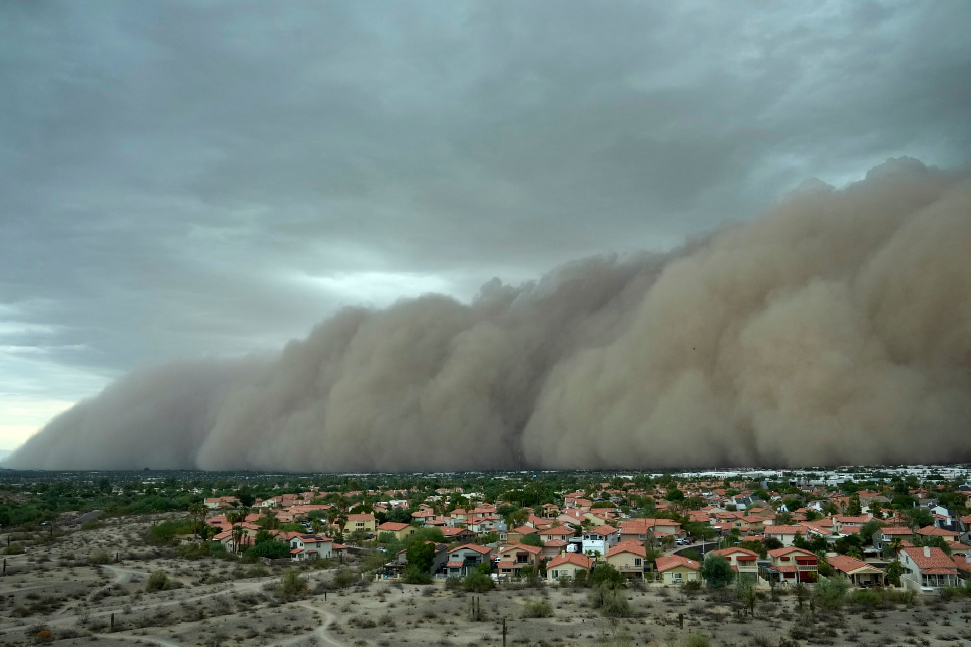 A powerful storm kicked up a towering wall of dust that rolled through the city of...